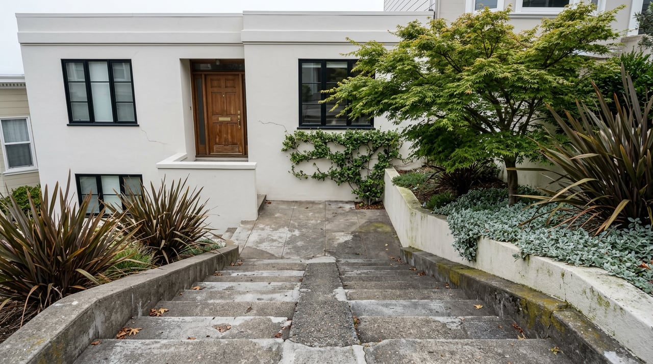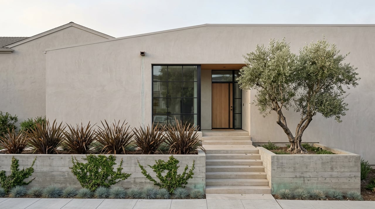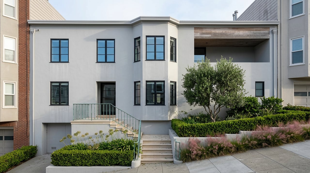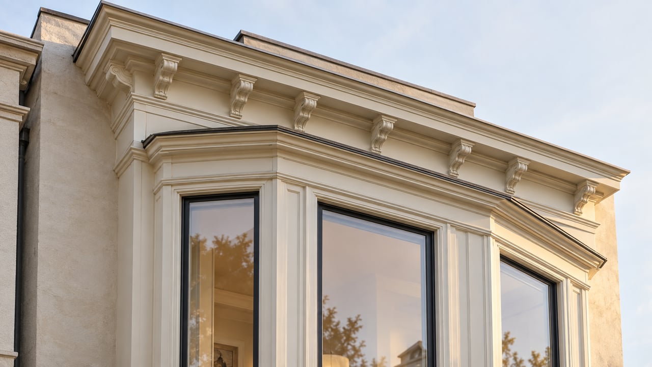
On the southwest corner of Sanchez and 21st Street, a small wood bench sits under a tree. It was carved by the sculptor J.B. Blunk, and it's maintained by the children of the woman it honors, Audrey Rodgers, who chaired the Dolores Heights Improvement Club from the late 1970s into the early 1980s. Rodgers spent months organizing neighbors against a citywide rezoning that would have flattened the hill's profile, and she won. In 1980 the city designated Dolores Heights a Special Use District, a legal carve-out meant to keep the neighborhood's low buildings, midblock open space, and hillside views intact for good.
That protection is still on the books, but as of January 2026 it no longer means what it used to. Anyone comparing Dolores Heights to Noe Valley or the Castro on price alone is paying for a hill that has looked the same for 46 years, on the assumption that it will keep looking that way. The legal backing for that assumption changed this year, and the change is worth understanding before it shows up in a comp.
A Special Use District Built for One Specific Hill
The Dolores Heights Special Use District, codified as Section 241 of the city's planning code, was written with unusually specific language: it exists to preserve "public and private view corridors and panoramas," to conserve existing buildings and planted spaces, and to prevent buildings from obstructing light or views on a steep block. In practice, that meant a height cap of 35 feet above grade across most of the district, and a rear yard requirement equal to 45 percent of a lot's total depth, nearly double the 25 percent required in a standard RH-1 district elsewhere in the city. The city's own Urban Design Element listed Dolores Heights as one of five examples of an area whose visual character was worth protecting through neighborhood-specific rules.
That combination of a low height ceiling and a deep mandatory rear yard is why the neighborhood reads the way it does from the street: consistent two- and three-story buildings, generous gaps between structures, and sightlines down to Dolores Park and across to the Castro that never got built out. It's not an accident of the market. It's a zoning decision from 1980 that a group of residents fought for.
What Changed on January 12
San Francisco was under a state deadline to adopt a rezoning plan that created legal capacity for 82,062 additional housing units by 2031, or risk losing state grant funding and local control over height and density review. The Board of Supervisors voted to pass the resulting Family Zoning Plan on December 9, 2025, and Mayor Daniel Lurie signed it into law three days later. The ordinances took effect on January 12, 2026.
For Dolores Heights specifically, the plan raises the height ceiling the 1980 district was built around:
- Height limit west of Sanchez Street: 35 feet before, up to 40 feet now
- Height limit for most of the area east of Sanchez: up to 50 feet now
- Height limit on corner lots and along Church Street: up to 65 feet now, a jump from the prior 35- to 40-foot cap
- Rear yard: a new construction project can extend roughly 20 feet further into what used to be protected open space, an 18 percent reduction in that 45 percent setback on a typical 114-foot-deep lot
- The 65-foot allowance also applies to any lot approaching 8,000 square feet, smaller than three merged standard parcels
The Dolores Heights Improvement Club, the same organization Rodgers once led, has described the net effect in blunt terms on its own site: the Family Zoning Plan amounts to "the de facto elimination of the 45 year old Dolores Heights Special Use District." That's the organization's own characterization, not a legal ruling, but it reflects how directly the new citywide rules override the district's original height and yard math.
Corners, Church Street, and the 8,000-Square-Foot Line
The exposure isn't uniform across the neighborhood. A buyer looking at an interior lot on a quiet midblock street west of Sanchez is dealing with a five-foot increase in what a neighbor could eventually build, from 35 feet to 40. That's a real change, but a modest one against a backdrop of buildings that were already two and three stories.
The math looks different on a corner, along Church Street, or on any parcel that approaches 8,000 square feet. Those properties can now be built up to 65 feet, nearly double the historic limit, and developers have the option to "opt in" to the city's Local Program standards rather than the state's density bonus program, which in some cases unlocks even more height and density than the base zoning map shows. For a property tucked behind or beside a large corner parcel, that's a materially different long-term view and light situation than the one baked into today's asking price. San Francisco Planning's interactive zoning map shows both the "base" and "Local Program" heights for any individual parcel, and checking that map for the specific lot and its immediate neighbors, not just the general neighborhood cap, is now a genuinely different diligence step than it was a year ago.
What the Sales Data Still Doesn't Show
Dolores Heights has been trading at prices that reflect none of this yet. Over the three months ending August 2026, homes sold at a median of $2.0 million, up 26.1 percent from the same period the year before, in a market scored 97 out of 100 for competitiveness. The average house price in the neighborhood the prior month ran even higher, at $2.53 million, up 63 percent year over year.
Those numbers say more about a small, tightly held twelve-block neighborhood with very few annual sales than they do about zoning risk. A handful of transactions can swing a median sharply in either direction when the sample is this thin, and that volatility has always been part of reading Dolores Heights pricing correctly. What the current numbers can't show is how buyers and appraisers will treat a corner lot or a Church Street parcel once the first project actually gets built under the new 65-foot allowance. No permits have worked their way through construction under the new rules yet, so the physical neighborhood still looks exactly like the one Rodgers fought to preserve. The legal ceiling above it just got higher, and comps haven't had to price that in.
For a buyer weighing a hillside view lot, a corner property, or a home whose rear yard privacy depended on the old 45 percent setback, that gap between what the street currently looks like and what the code now allows is the detail worth running down before writing an offer, not after.
If you're evaluating a specific address in Dolores Heights and want a read on what the current zoning actually allows next to it, Deason Group can walk through the parcel-level detail with you before you're comparing homes on price alone.